Drone Survey
- Home
- Service
- Drone Survey
D.S. Consultants & Engineers Pvt. Ltd. offers cutting-edge Drone Survey Services , combining innovation with precision. Our advanced drones deliver high-resolution imagery, accurate topographic mapping and comprehensive data analysis, ensuring efficient project planning and monitoring. Ideal for construction, agriculture, mining and urban development. Our services provide real-time insights and enhanced decision-making capabilities. Backed by a team of skilled professionals and state-of-the-art technology, we are committed to delivering reliable and cost-effective solutions tailored to your needs. Experience unmatched accuracy and efficiency with our Drone Survey service.
Inquiry Now
Drone Survey

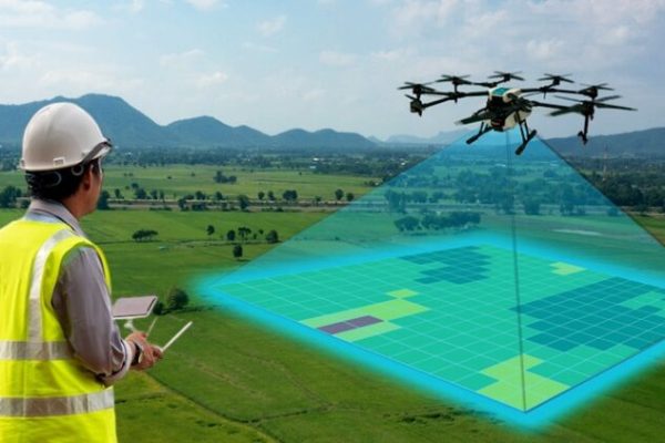
D.S. Consultants & Engineers Pvt. Ltd, based in Bhubaneswar, offers cutting-edge Drone Survey services for diverse industries. Utilizing advanced UAV technology, we provide precise aerial data for land mapping, infrastructure monitoring, agriculture, construction and more. Our expert team ensures high-resolution imaging, 3D modeling and accurate topographic analysis to support efficient decision-making.
Whether it’s large-scale projects or niche requirements, our drones deliver unmatched accuracy and speed, reducing costs and manual effort. Equipped with the latest technology, D.S. Consultants & Engineers Pvt. Ltd. guarantee reliable, safe and environmentally friendly solutions. For businesses seeking innovation and precision , our Drone Survey services are the ideal choice to elevate your projects to new heights.