Contour Survey
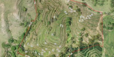
These services are efficient carried out in order to find out the volume of soil, measure the cut & fill quantities, to plan the irrigation & sewer system and to plan the drainage. We are providing contour survey at micro level and accuracy to seconds at a very competitive price.
Land Survey
We are a reliable service provider engaged in offering solution for Land Survey. The procedure of determining the terrestrial or three-dimensional position of points and the distances and angles between them is known as land surveying. Our experienced professionals ensure to maintain accuracy in the surveying and thereby provide our clients cost effective solution to clients.

Road Survey
We are a reliable service provider engaged in offering solutions for Road Survey. The process involves determining alignments, gradients, and terrain characteristics necessary for designing and constructing roads. Our team of experienced professionals ensures precision and efficiency in every survey, delivering cost-effective and accurate solutions to meet the specific requirements of our clients.

Topographical Survey
Topography includes the recording of three-dimensional quality of the surface and the identification of specific landforms. We make use of various techniques as per our topographical survey in order to provide an accurate graphic representation of the landform on a map.
Building Survey
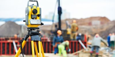
We are engaged in offering services regarding Building Survey with the help of advanced technology and equipment. Working in close cooperation with architects & planners. The building survey work that we offer comprises the following:
• Grid line marking • Centre line marking
• Reference point marking • Location of plot
• Vertically checking of columns • Plan & Section drawing

Route Survey
Route Survey is nothing but the survey of the earth’s surface along a specific route to compile and update facts such as topographical, geological, soil and other maps and then correlating the same to topographical, geological, soil and other maps. some basic points that we meet during the survey comprise the
• Centre line marking • Route alignment
• Fixing of route alignment • L-section & X-section levelling
• Quality Calculation of materials • Curve point fixing the slope of route

City Survey
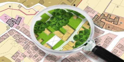
Generally in city survey we collect the data with respect to highway surveying with a high point density. The collected data is then transferred to our software for design purpose and then offered as a CAD file or a hard copy.
Bridge Survey
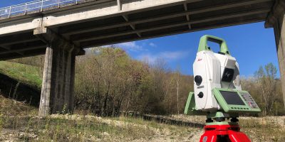
With the help of our years of experience in the field of construction surveying and engineering process related services, we are able to offer Bridge Survey services that are invaluable to the engineer. We collect this Bridge Surveying data in 3D with a high point density.
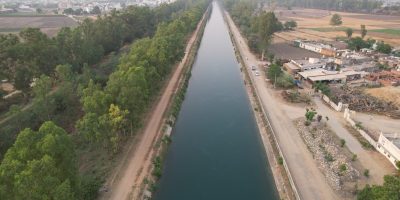
Canal Survey
We are also engaged in Canal Survey related services, having in-depth experience in canal surveying and associated engineering works. The skilled professionals at our premises use latest tools and advanced technology so as to offer reliable and qualitative services.
Tunnel Survey
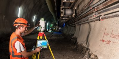
We are engaged in offering the Tunnel Survey to our clients. This includes:
• Fixing the tunnel alignment
• Triangulation point fixing
• Laser point fixing
• Transferring bench mark
• Fixing the control point
Hydrographical Survey
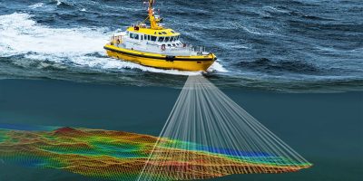
Hydrographical Survey is the science of measurement and description of features which affect maritime navigation, marine construction, dredging, offshore oil exploration/drilling and related activities. Strong emphasis is placed on soundings, shorelines, tides, currents, sea floor and submerged obstructions that relate to the previously mentioned activities. Our experienced professionals ensure to maintain accuracy in the surveying and thereby provide our clients cost effective solution.
DGPS Survey
These are carried out to establish networks of points called Control Points or Control Stations. These points can be used for the subsequent measurements that are to be recorded at the site establishing the control points calls for the highest precision, as this will have direct bearing on the accuracy of the final survey to be carried out at the project site. Our experienced professionals ensure to maintain accuracy in the surveying and thereby provide our clients cost effective solution.
